Difference between revisions of "Agflor"
From forestDSS
Joseborges (Talk | contribs) (→Brief overview) |
Joseborges (Talk | contribs) (→Brief overview) |
||
| Line 20: | Line 20: | ||
[[Category:Simulated annealing]] | [[Category:Simulated annealing]] | ||
[[Category:Help documents]] | [[Category:Help documents]] | ||
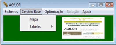
| − | [[Image: | + | [[Image:agflorpresentation.gif |thumb|400px| AGfLOR menu options and logo]] |
| − | [[Image: | + | [[Image:aglor study area.gif |thumb|400px| Agro-forestry farm-type land units within the Alentejo region (Portugal) from <ref>Borges et al. 2009<7ref>]] |
__TOC__ | __TOC__ | ||
Revision as of 14:04, 8 October 2009
General System description
System name: Agro-forestry decision support system
Acronym: AGfLOR
Brief overview
AGfLOR is a tool to help assess impacts of policy changes on regional land use patterns[[Image:aglor study area.gif |thumb|400px| Agro-forestry farm-type land units within the Alentejo region (Portugal) from [1]
Cite error: <ref> tags exist, but no <references/> tag was found
